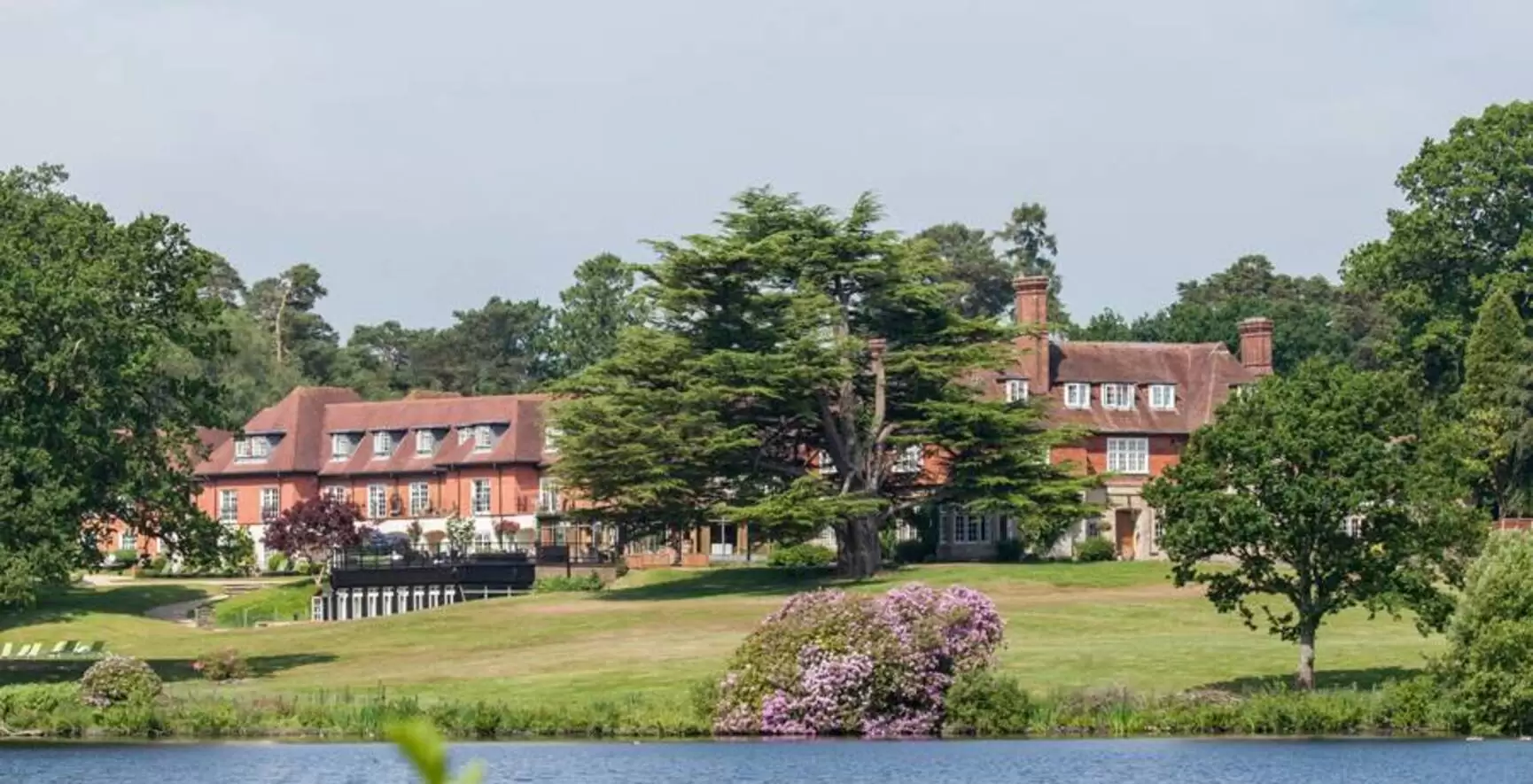
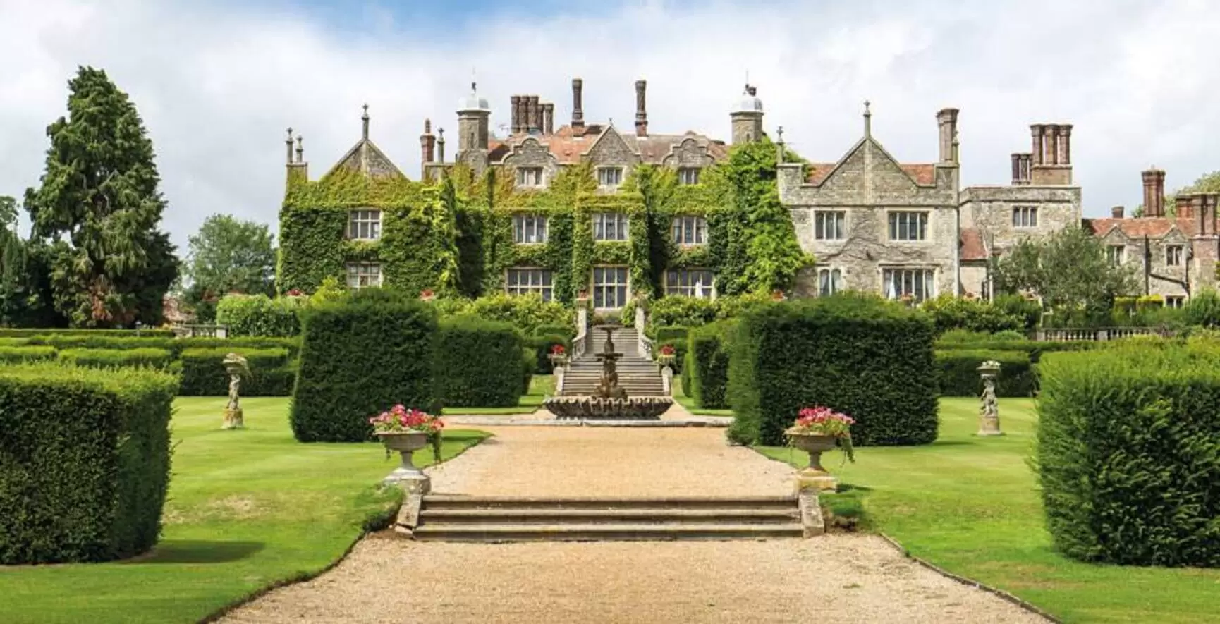
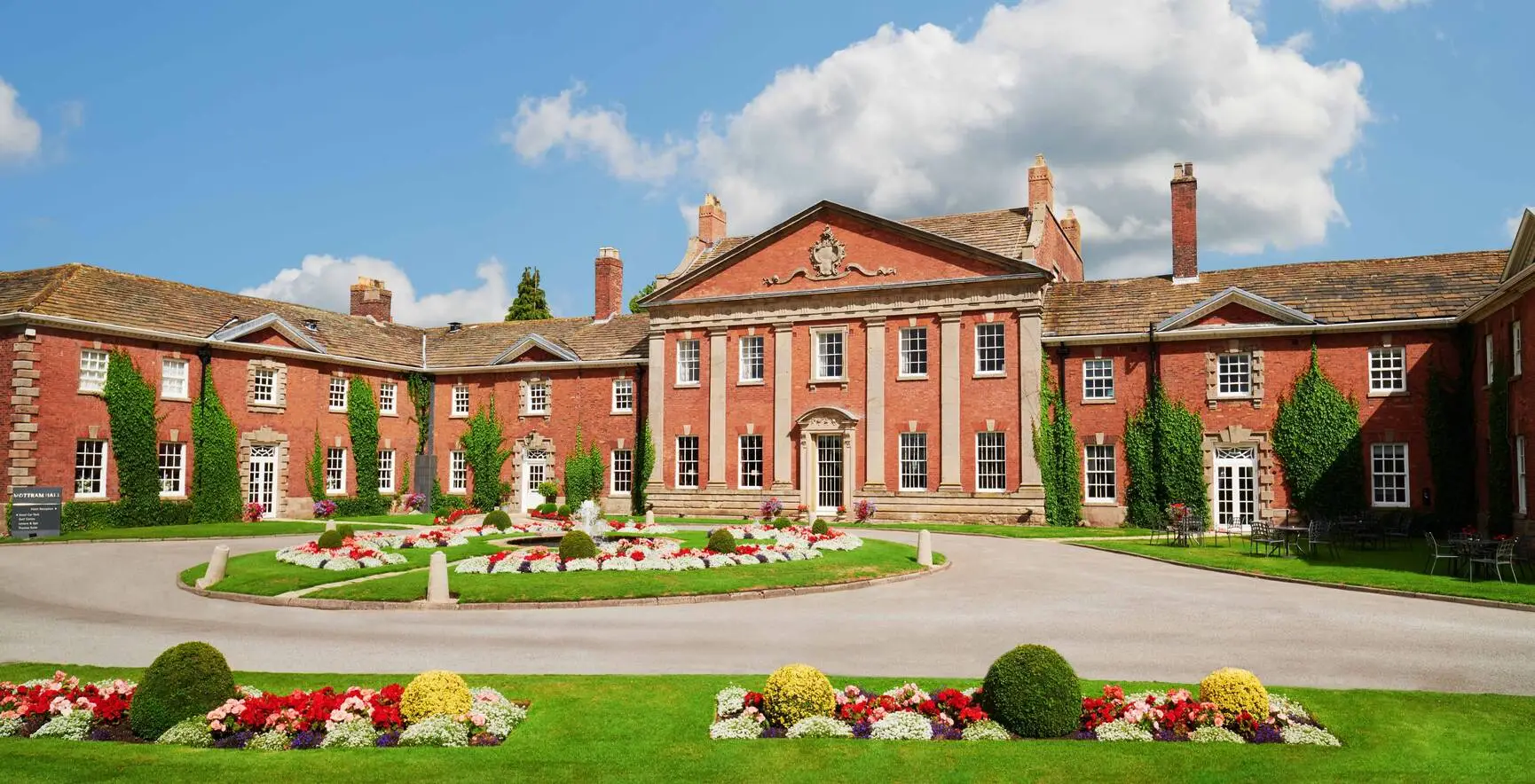
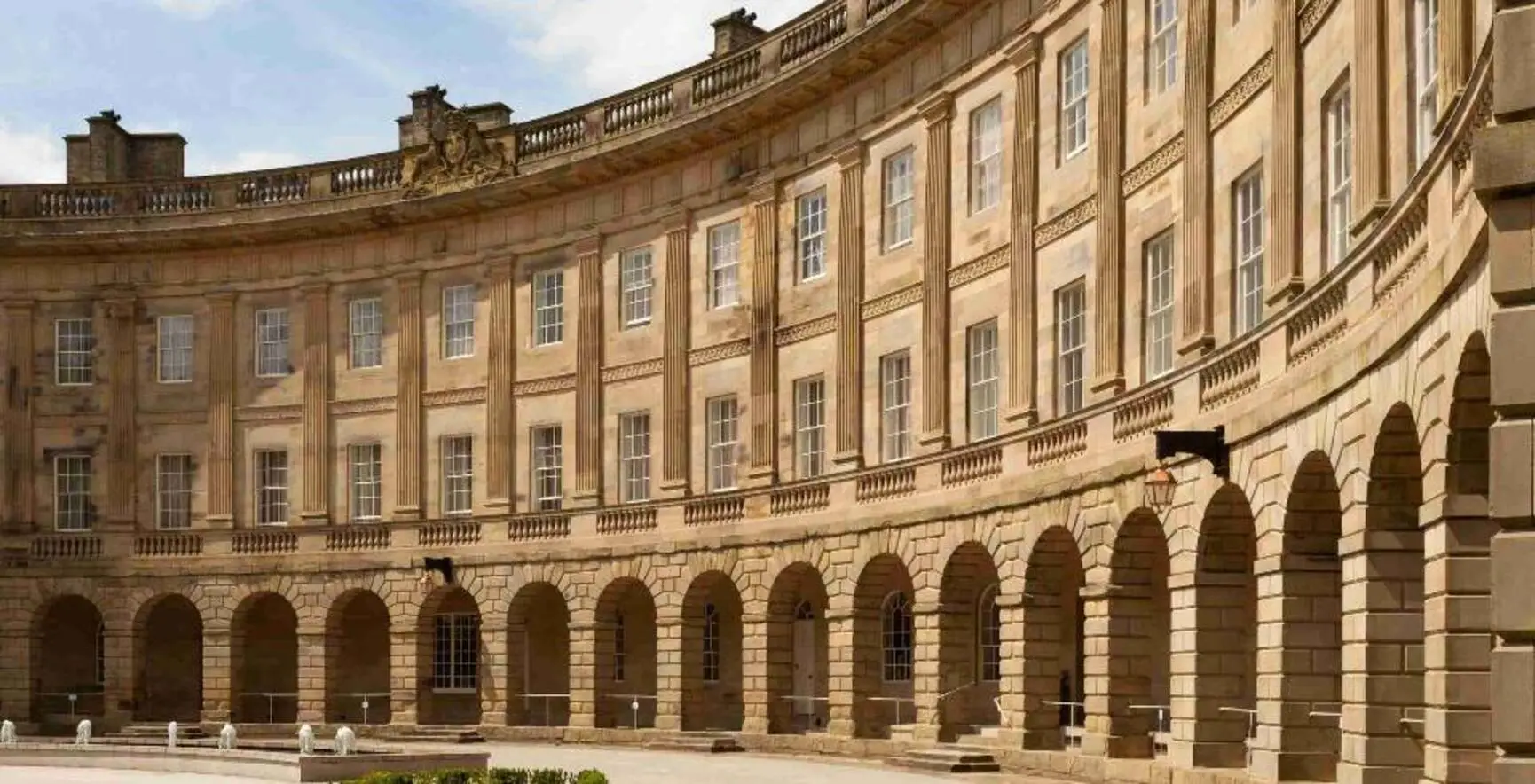
Destinations
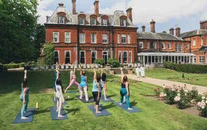
Packed with facilities, centred on health and wellbeing.
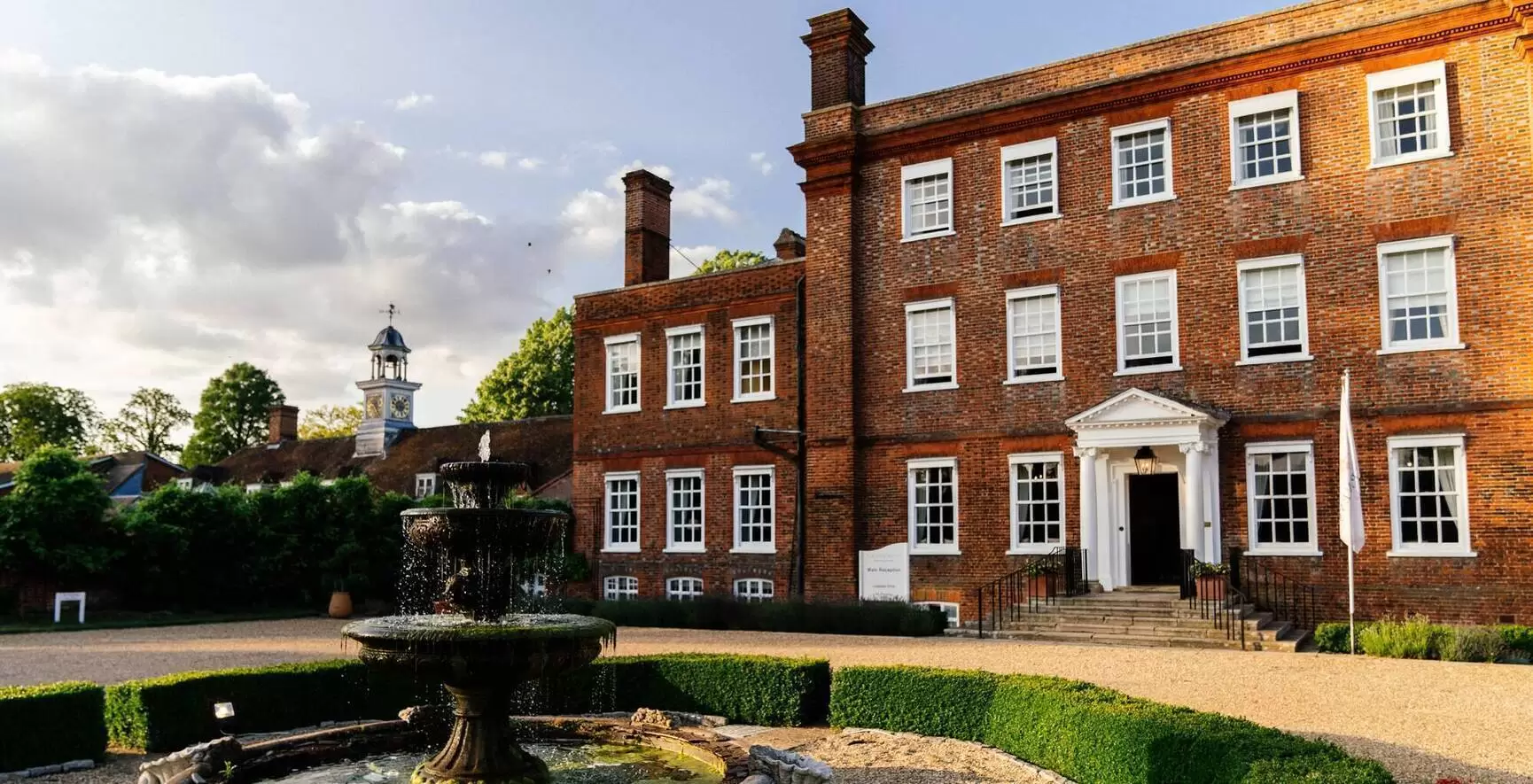
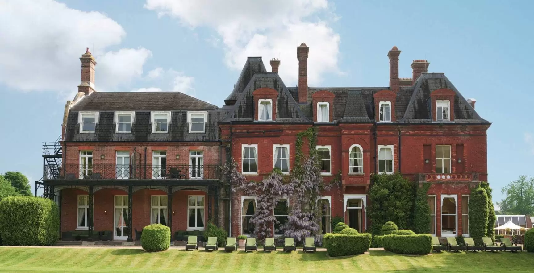
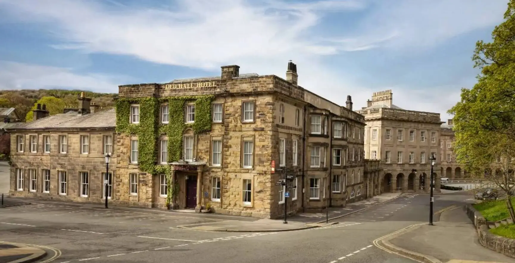
Luxurious spa facilities and a whole lot more.
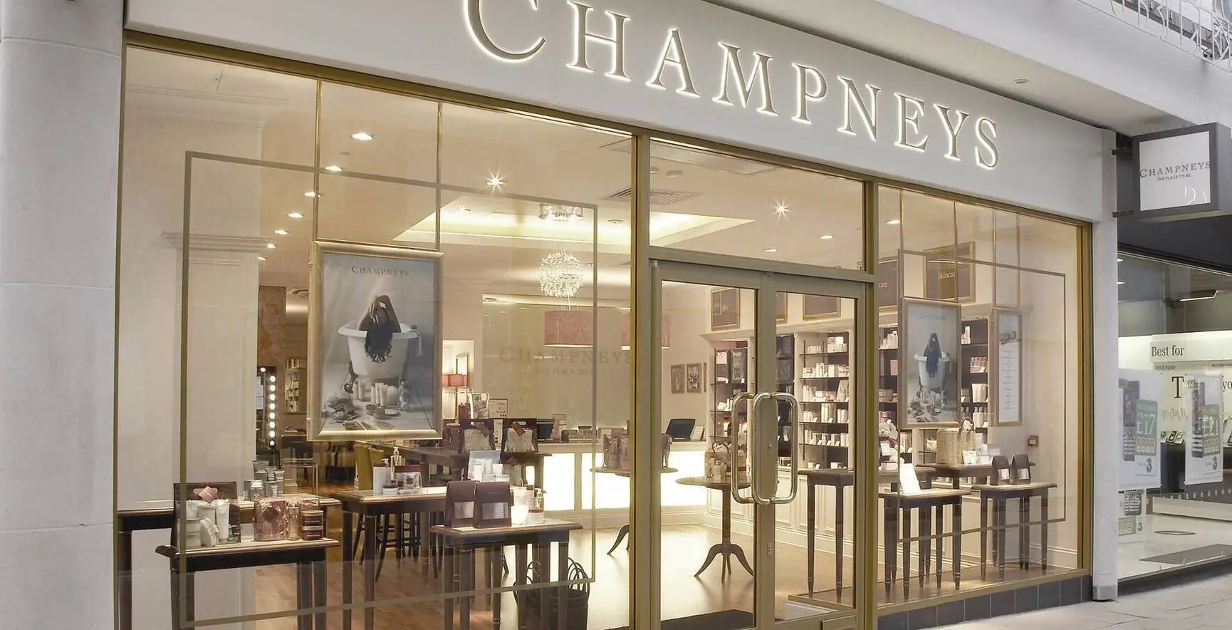
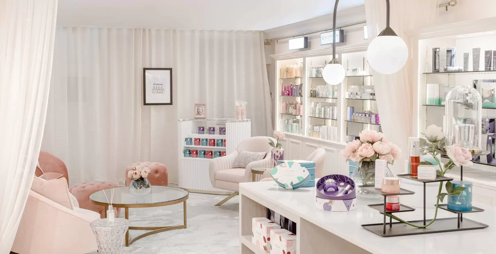
Private high street havens of relaxation.
OFFERS

Escape for a blissful day of pampering and wellness.
Midweek Spa Day View allUnwind after hours with tranquil spa experiences.
Twilight Spa EveningAfternoon Tranquilli-tea
Rest, recharge, and unwind with our luxury spa breaks.
Original Spa Break | Up to 60% Off View allUncover moments to savour and new ways to unwind.
Food & Drink Golf Days & Stays WorkshopsUnwind in style with overnight stays and dining to suit you.
Eastwell Manor Mottram Hall Buxton Crescent The Crescent Escape | 25% Off View all
Summer Sale | Up to 60% Off
Book a 1-night short but sweet escape, 2-night restorative stay, or 3-night ultimate reset and save up to 60% off.
Book now | From under £99pppnRetreats

Improve your physical fitness and nutrition.
View allPrioritise your health and wellbeing above all else.
View all
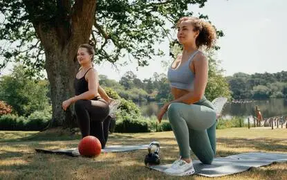
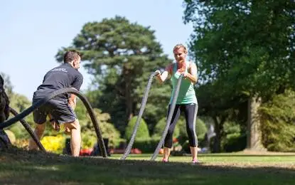
Boot Camps
Start your journey towards enhanced health, wellbeing and longevity with a Champneys Boot Camp.
Book now | Forest Mere 22nd JuneElevate your mood and overall happiness.
View allReconnect, rejuvenate and restore balance.
View all
Countryside Reset
Step into the stillness of the countryside and allow yourself five days to properly reset, set across Champneys’ iconic countryside resorts.
Book nowTreatments

100 Year Treatments Body Face Hands & Feet Massage Spa Rituals
Buxton Crescent Treatments Advanced Therapies Men Pregnancy
Buxton Crescent Treatments Advanced Therapies Men Pregnancy
BrainGym Mental Fitness Lounger
Give your brain a workout – without breaking a sweat, exclusively at Champneys Tring.
Learn MoreWellbeing
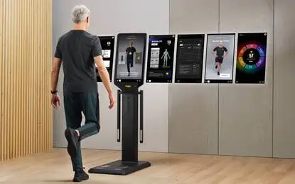
Wellness Check-Up
Discover your true wellness age and your body's full potential with Technogym's Wellness Check-Up.
Book nowMembership
Cloud 9 Standard & Premier Spa More Testimonials FAQs
RESORT CLUBS
Forest Mere, Hampshire Henlow, Bedfordshire Springs, Leicestershire Tring, Hertfordshire
HOTEL CLUBS
Eastwell Manor, Kent Mottram Hall, Cheshire
3-Month Summer Membership
Enjoy a three-month escape into wellbeing with access to Champneys Forest Mere, Springs, Eastwell Manor and Mottram Hall – the perfect staycation for body and mind.
Join today
6-Month Membership
Begin your summer of wellness at Champneys Henlow and Tring, with half the commitment and all the benefits with our rare 6-month membership offer.
Join todayGolf

Golf membership in Cheshire
Golf membership at Mottram Hall is a must for keen golfers in Cheshire.
Join the clubGifts
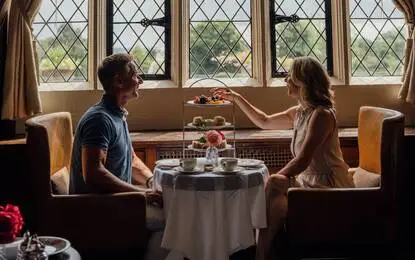

Love at first bite
Treat someone special to the delights of afternoon tea, with dainty finger sandwiches, melt-in-your-mouth pastries and plenty of moments to savour.
Tea for two
The Wellness Collection
Bring Champneys at home with our evolved self-care products and make every day feel like a spa day.
Shop nowMeetings
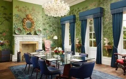
Weddings
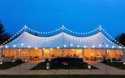
Wedding Packages Late Availability Wedding Spaces Wedding Dining Wedding Fayres Wedding Brochure Book a Tour
Engagement Dinner
Join us at Eastwell Manor on Tuesday 25th August for an elegant evening designed exclusively for newly engaged couples.
Learn moreGallery


Champneys through the lens
Step into the world of Champneys, where luxurious treatments, serene surroundings and timeless relaxation meet.
View galleryCollege
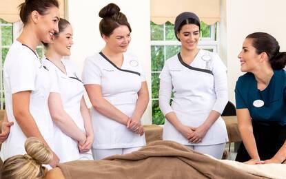
Professional Development Full Time Part Time Lash & Brow Specialist Beauty Massage Therapies Anatomy & Physiology

College Open Day
Join us on Wednesday 27th May from 10am – 3pm and find out more about becoming a Champneys College student.
Find out moreDestinations
Packed with experiences, centred on wellness and relaxation.
Luxurious spa facilities and a whole lot more.
Private high street havens of relaxation.
Offers
Packed with facilities, centred on health and wellbeing.
Midweek Spa Day View allUnwind after hours with tranquil spa experiences.
Twilight Spa Evening Afternoon Traquilli-tea
Rest, recharge, and unwind with our luxury spa breaks.
Original Spa Break | Up to 60% Off View allUncover moments to savour and new ways to unwind.
Food & Drink Golf Days & Stays WorkshopsUnwind in style with overnight stays and dining to suit you.
Eastwell Manor Mottram Hall Buxton Crescent The Crescent Escape | 25% Off View all
Summer Sale | Up to 60% Off
Book a 1-night short but sweet escape, 2-night restorative stay, or 3-night ultimate reset and save up to 60% off.
Book now | From under £99pppnRetreats
Improve your physical fitness and nutrition.
View allPrioritise your health and wellbeing above all else.
View all
Boot Camps
Start your journey towards enhanced health, wellbeing and longevity with a Champneys Boot Camp.
Book now | Forest Mere 22nd JuneElevate your mood and overall happiness.
View allReconnect, rejuvenate and restore balance.
View all
Countryside Reset
Step into the stillness of the countryside and allow yourself five days to properly reset, set across Champneys’ iconic countryside resorts.
Book nowTreatments
100 Year Treatments Body Face Hands & Feet Massage Spa Rituals
Buxton Crescent Treatments Advanced Therapies Men Pregnancy
Buxton Crescent Treatments Advanced Therapies Men Pregnancy
BrainGym Mental Fitness Lounger
Give your brain a workout – without breaking a sweat, exclusively at Champneys Tring.
Learn MoreWellbeing
Wellness Check-Up
Discover your true wellness age and your body's full potential with Technogym's Wellness Check-Up.
Book nowMembership
Cloud 9 Standard & Premier Testimonials FAQs
RESORT CLUBS
Forest Mere, Hampshire Henlow, Bedfordshire Springs, Leicestershire Tring, Hertfordshire
HOTEL CLUBS
Eastwell Manor, Kent Mottram Hall, Cheshire
3-Month Summer Membership
Enjoy a three-month escape into wellbeing with access to Champneys Forest Mere, Springs, Eastwell Manor and Mottram Hall – the perfect staycation for body and mind.
Join today
6-Month Membership
Begin your summer of wellness at Champneys Henlow and Tring, with half the commitment and all the benefits with our rare 6-month membership offer.
Join todayGolf
Golf membership in Cheshire
Golf membership at Mottram Hall is a must for keen golfers in Cheshire.
Join the clubGifts
Love at first bite
Treat someone special to the delights of afternoon tea, with dainty finger sandwiches, melt-in-your-mouth pastries and plenty of moments to savour.
Tea for two
The Wellness Collection
Bring Champneys at home with our evolved self-care products and make every day feel like a spa day.
Shop nowMeetings
Weddings
Wedding Packages Late Availability Wedding Spaces Wedding Dining Wedding Fayres Wedding Brochure Wedding Tours
Engagement Dinner
Join us at Eastwell Manor on Tuesday 25th August for an elegant evening designed exclusively for newly engaged couples.
Learn moreGallery
Champneys through the lens
Step into the world of Champneys, where luxurious treatments, serene surroundings and timeless relaxation meet.
View galleryCollege
Professional Development Full Time Part Time Lash & Brow Specialist Beauty Massage Therapies Anatomy & Physilogy
College Open Day
Join us on Wednesday 27th May from 10am – 3.30pm and find out more about becoming a Champneys College student.
Find out more
deviceClass: Desktop
deviceName: Anthropic ClaudeBot
user.isMobile(): false
deviceName: Anthropic ClaudeBot
user.isMobile(): false
Spa Resorts
Packed with experiences,
centred on wellness and relaxation.
Spa Hotels
Luxurious spa facilities,
elegant stays and a whole lot more.
City Spas
Private high street havens
for peace and pampering.
Summer Sale
Up to 60% off on Original Spa Break.
Stay longer. Save More.
Spa Days
Full days, pamper afternoons
and serene evenings.
Spa Evenings
Unwind after hours with
tranquil spa experiences.
Spa Breaks
Stay the night,
or longer...
Hotel Stays
Unwind in style with overnight stays
and dining to suit you.
Food & Drink
Savour nutritious, elegant dishes
in serene surroundings.
Golf Days & Stays
Play, unwind, and enjoy
the beauty of Mottram Hall's course.
Health & Fitness
Improve your physical fitness
and nutrition.
Restorative
Prioritise your health
and wellbeing.
Yoga, Pilates & meditation
Suitable for beginners
and experienced yogis alike.
Wellness Workshops
Reconnect, rejuvenate
and restore balance.
Search all treatments
Search, filter
and sort.
Collections
Discover our extensive range of spa treatments,
from mani-pedis and facials to body wraps and massages.
Brands
We work with the finest
award-winning brands.
Group Classes
Sessions focus on all-over fitness and general wellbeing,
in a fun, motivating environment.
Personal services
Assessments, consultations and classes
to help you feel healthier.
Spa & Fitness Facilities
A Champneys spa visit is always a treat,
with much to experience.
MEMBERSHIP TYPES
A range of membership types are available,
including single and joint options.
Clubs
Work out and unwind in one of
the most desirable health clubs in the UK.
Gift Vouchers
Give the gift of
relaxation and wellness.
CHAMPNEYS SHOP
Luxury spa-inspired skincare, spa products
and gifts for everyday indulgence.
Book tee times
Book for nine
or 18 holes.
Golf Experiences
Play at our 7,006-yard, 18-hole, par 72
Championship golf course.
Golf Days & Stays
Luxury on
and off the green.
Meeting & event types
Champneys offers unique
and magical settings.
Meeting & event spaces
Tranquil places for private functions
and business meetings.
Buxton Crescent weddings
A wedding venue like
no other.
Eastwell Manor weddings
The ultimate fairy tale
wedding destination.
Mottram Hall weddings
A beautifully elegant setting for
wedding ceremonies and receptions.
Discover Champneys
Founded on the philosophy that health, beauty
and wellbeing are inextricably intertwined.
Spa blog
Expert tips, spa insights
and wellness wisdom.
Champneys College
One of the UK's leading
beauty therapy training colleges
Courses
Beauty therapy qualifications
to advance your career.
Student Life
Endless number of
exciting opportunities.
About the College
One of UK's leading beauty
therapy training colleges.
College Salon
Discover exceptional
value.
10078